![]() Latest Water Level
Latest Water Level
![]() Latest Water Level
Latest Water Level
Table generated at 12:01 AM, 22-May-2026
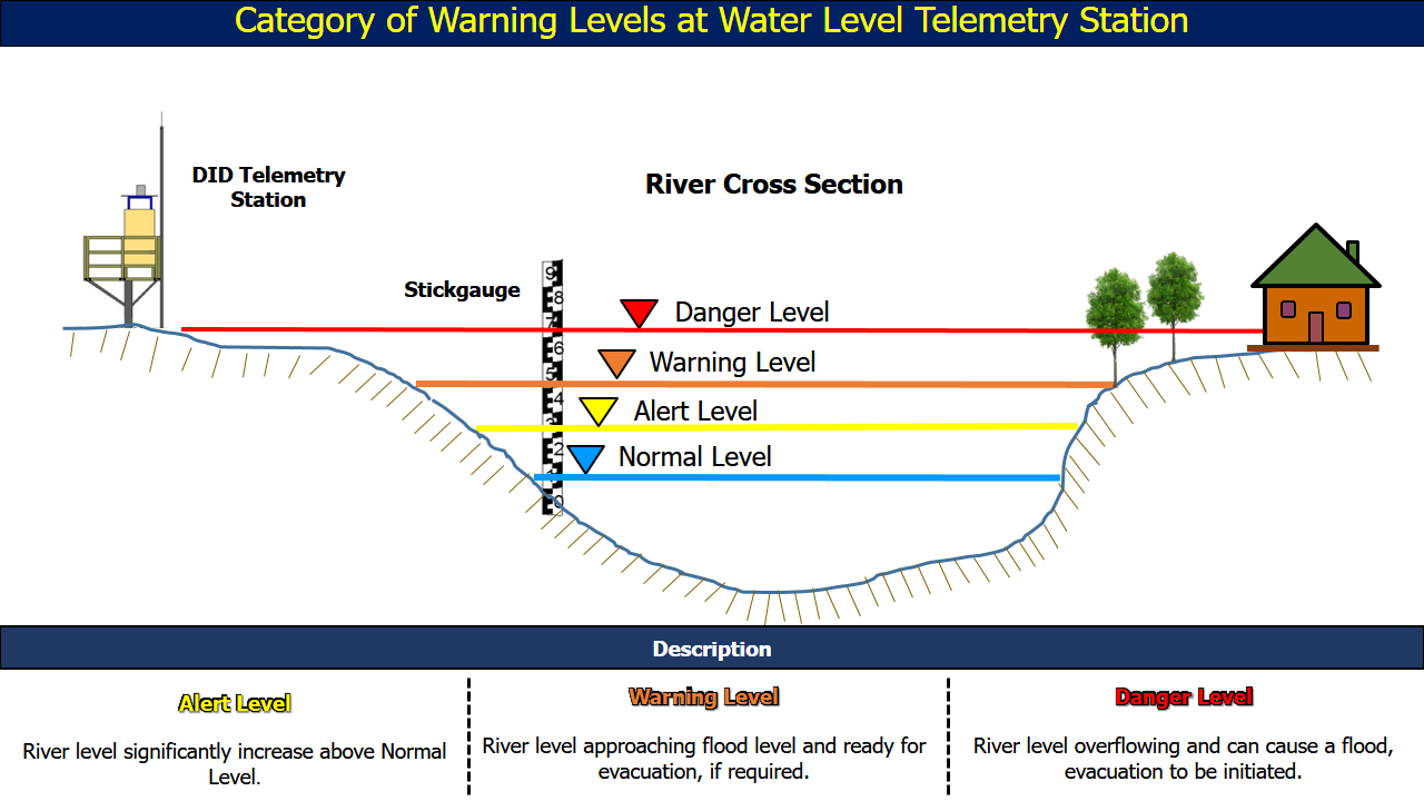
| No. | Station Name | Division | River Basin | Last Update Time | Water Level (m) | Normal Level (m) | Alert Level (m) | Warning Level (m) | Danger Level (m) |
| 121. | Long Tengoa •• | Limbang | Batang Trusan | 21-05-2026 23:45 | 44.85 | 43.70 | 46.50 | 48.00 | 50.00 |
| 122. | Kuala Lawas •• | Limbang | Batang Lawas | 21-05-2026 23:45 | -0.93 | - | 1.00 | 1.20 | 1.38 |