Telemetry Stations

The Department has upgraded its hydrological stations to telemetry stations since 1985, the first stations were installed in Batang Sadong River Basin at Serian, Krusen, Meringgu and Gedong stations. With the telemetry stations, data/information can be obtained immediately on line by way of satellite, General Packet Radio Service (GPRS) or other means of communication even for stations located in the remote areas which are difficult and challenging to access. The ability to provide real time rainfall and water level on-line enable close monitoring of the development of floods at critical flood prone areas and drought situation in the river basin. This will then allow for the proper, timely and smooth co-ordination of essential disaster relief operations and management to the affected areas.

rain    water    rfchart    wlchart

ihydro   IHYDRO

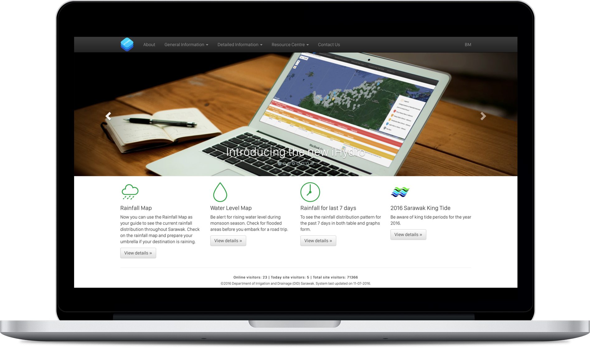
IHYDRO is an Online Hydrological Telemetry System developed to provide platform for real-time flood and drought monitoring. It is also a public domain for Hydrological Telemetry System (HTS) under Centralized Information Telemetry Networks (CITN). The displayed of real time rainfall and water level data enables the occurrence of flooding in Sarawak be monitored and assessed at the earlier stage to minimize damage on property and loss of life.

desktop   

How to Access IHYDRO ?

IHYDRO is accessible via website http://www.ihydro.did.sarawak.gov.my. The application is user friendly. The user would be able to know the rainfall condition at their area that is either they are experiencing light, moderate, heavy or very heavy rainfall. They would also be able to know the current river condition whether the water level has reach alert, warning or danger level.